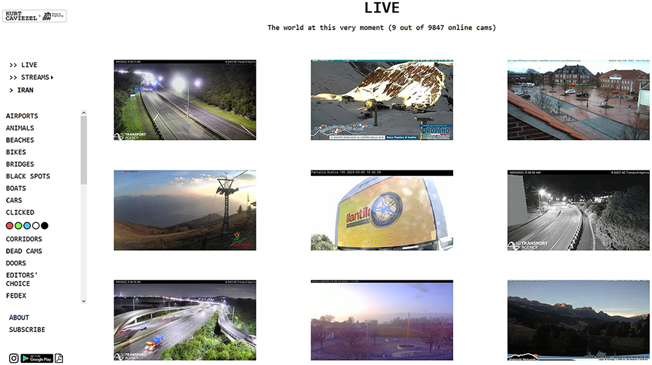
+++ BREAKING NEWS +++
28.07.2026 12:43:12
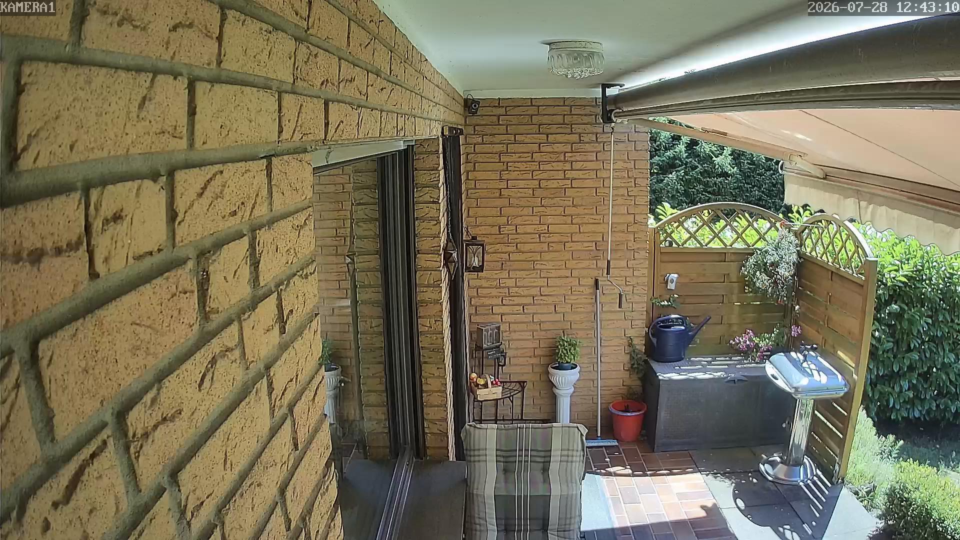
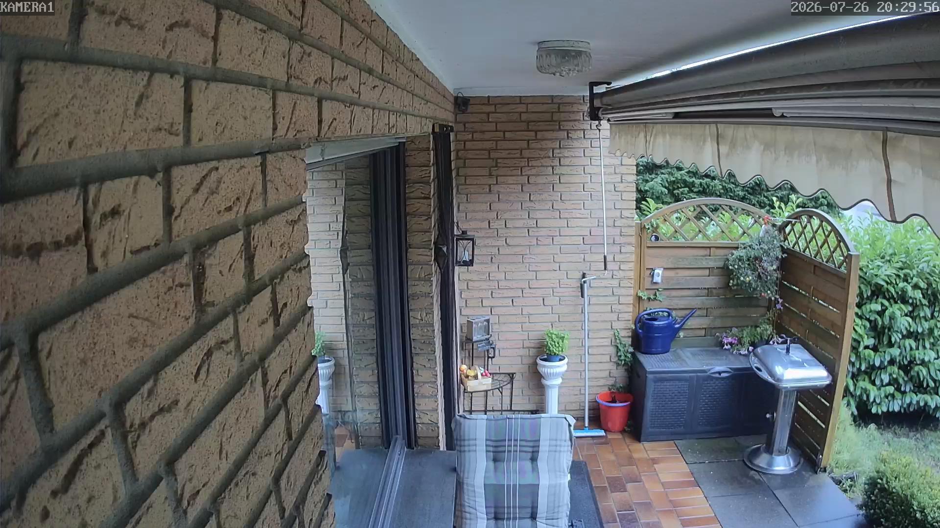
The image shows a cozy outdoor patio area with a brick wall, a sliding glass door, and various potted plants and garden furniture. The scene includes a small table with a blue watering can, a chair with a striped cushion, and a wooden fence with a lattice design. The area is well-maintained and appears to be part of a residential home.
26.07.2026 21:38:34
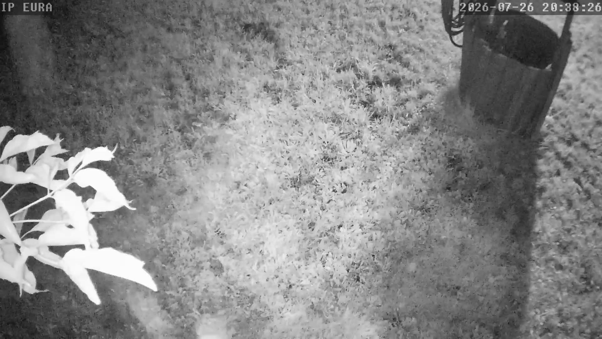
A nighttime scene of a garden or yard with a small animal, possibly a rabbit or a similar creature, moving across the grass. The image is taken from a security camera, as indicated by the timestamp in the top right corner.
27.07.2026 07:00:29
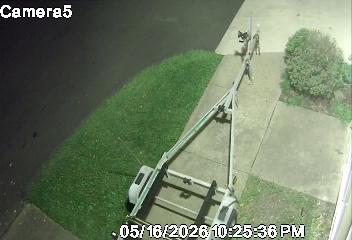
A surveillance camera captures a scene of a person walking on a sidewalk next to a grassy area, with a utility vehicle parked nearby. The timestamp indicates it was taken on 05/16/2026 at 10:25:38 PM.
26.07.2026 06:12:04
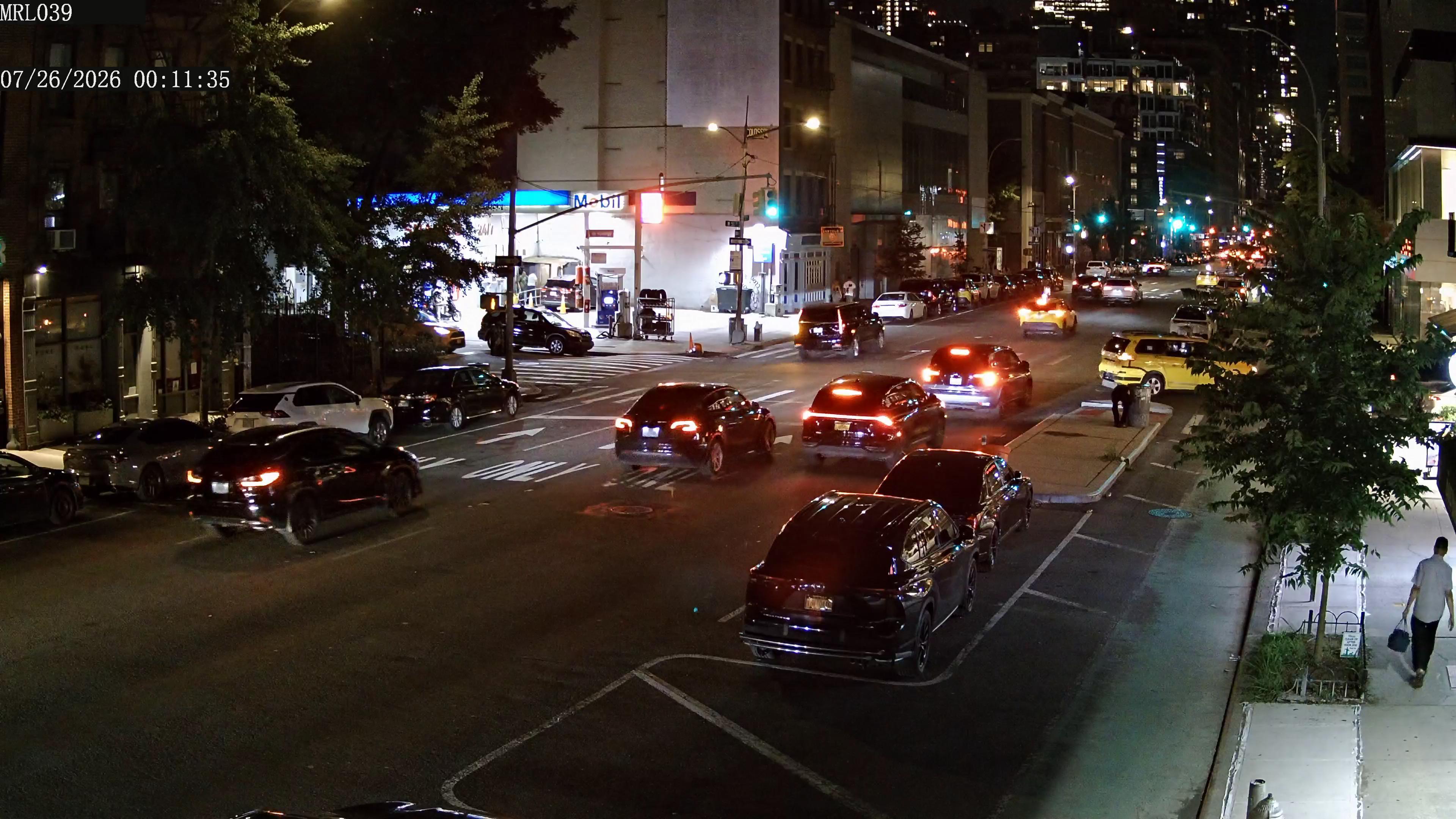
A bustling urban intersection at night, with cars lined up at a red light, illuminated by streetlights and building lights, creating a vibrant cityscape.
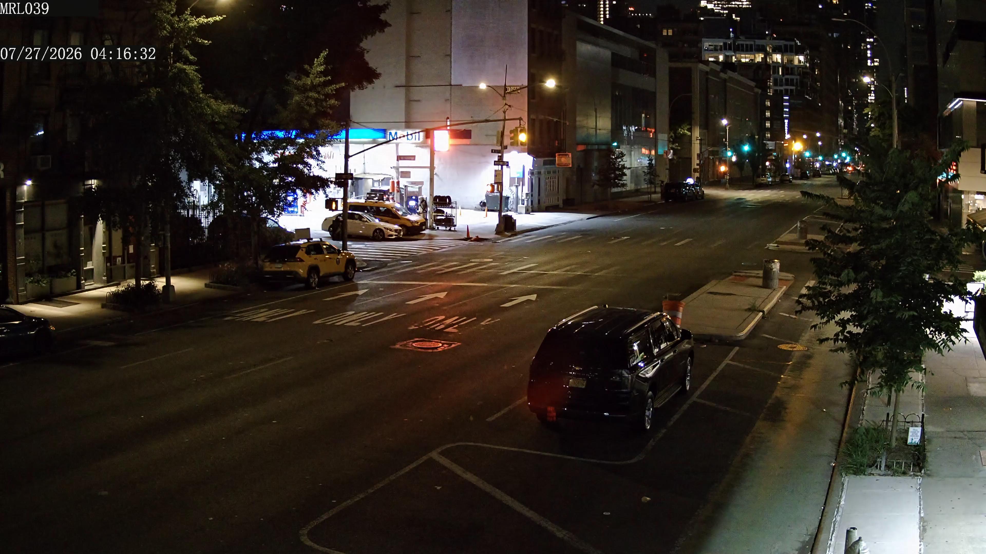
27.07.2026 10:17:02
A nighttime city street scene with a black SUV parked on the right side of the road, a yellow taxi in the middle, and a white van on the left. The street is illuminated by streetlights and building lights, with a mix of vehicles and pedestrians visible. The timestamp on the image is 04:16:32 on July 27, 2026.
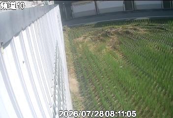
28.07.2026 02:16:54
The image shows a view from an elevated position, likely from a balcony or rooftop, overlooking a field of crops. The crops appear to be young plants, possibly rice or corn, arranged in neat rows. The field is bordered by a white fence on the left side, and there is a building with a dark roof and white walls in the background. The timestamp on the image indicates it was taken on July 28, 2026, at 08:11:05.
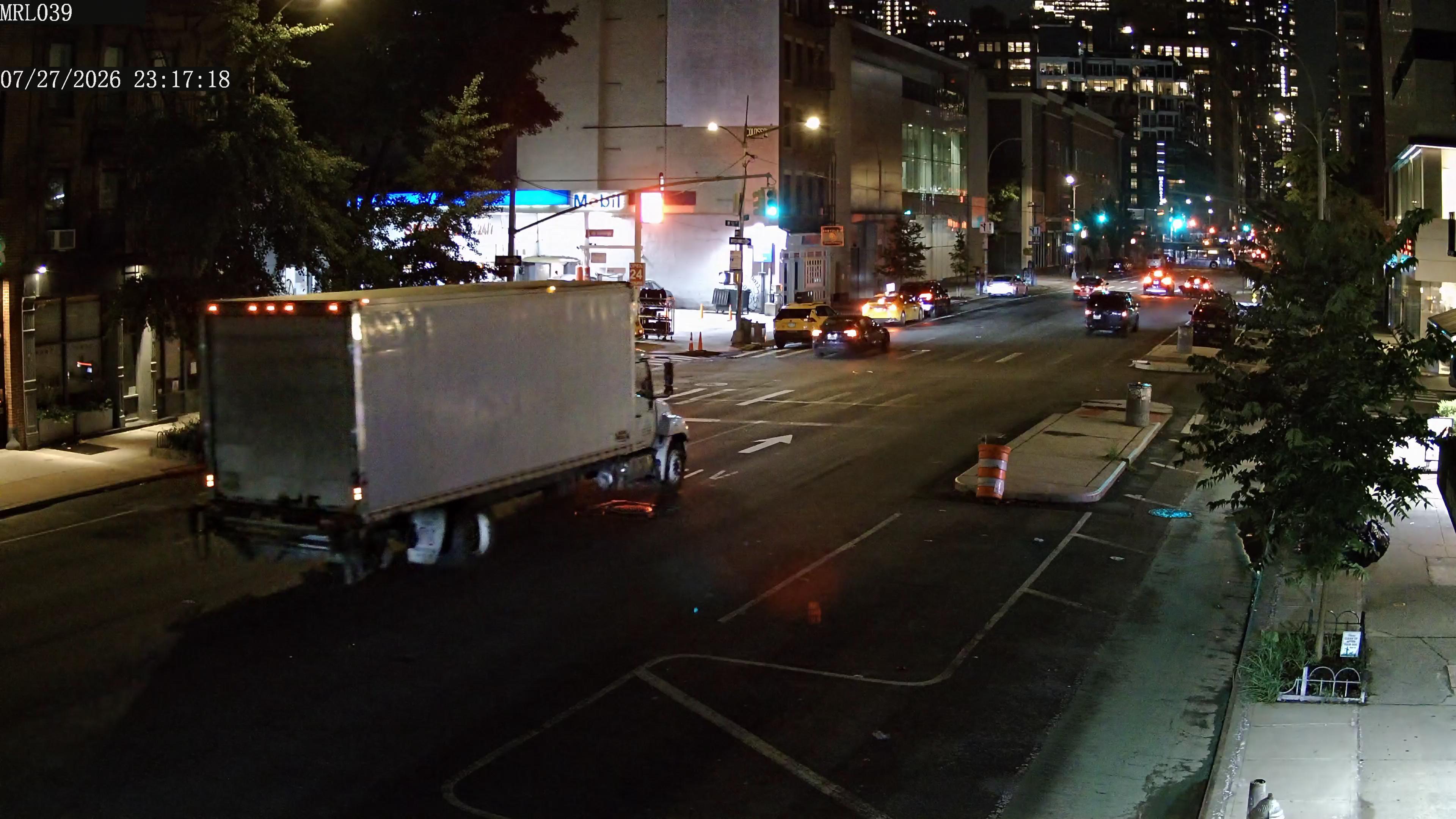
28.07.2026 05:17:48
A nighttime city street scene with a white truck parked on the left side of the road, several cars and taxis moving in the opposite direction, and tall buildings with illuminated windows in the background.
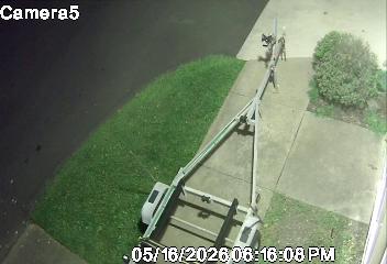
27.07.2026 02:51:01
An aerial view of a residential street with a lawn mower on a pole, a person walking on the sidewalk, and a tree in the background. The timestamp indicates it was taken at 16:08 PM on 05/16/2028.
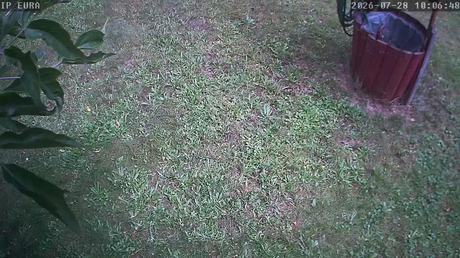
28.07.2026 11:06:53
A grassy yard with a red trash can and a tree with green leaves in the foreground, captured at night.
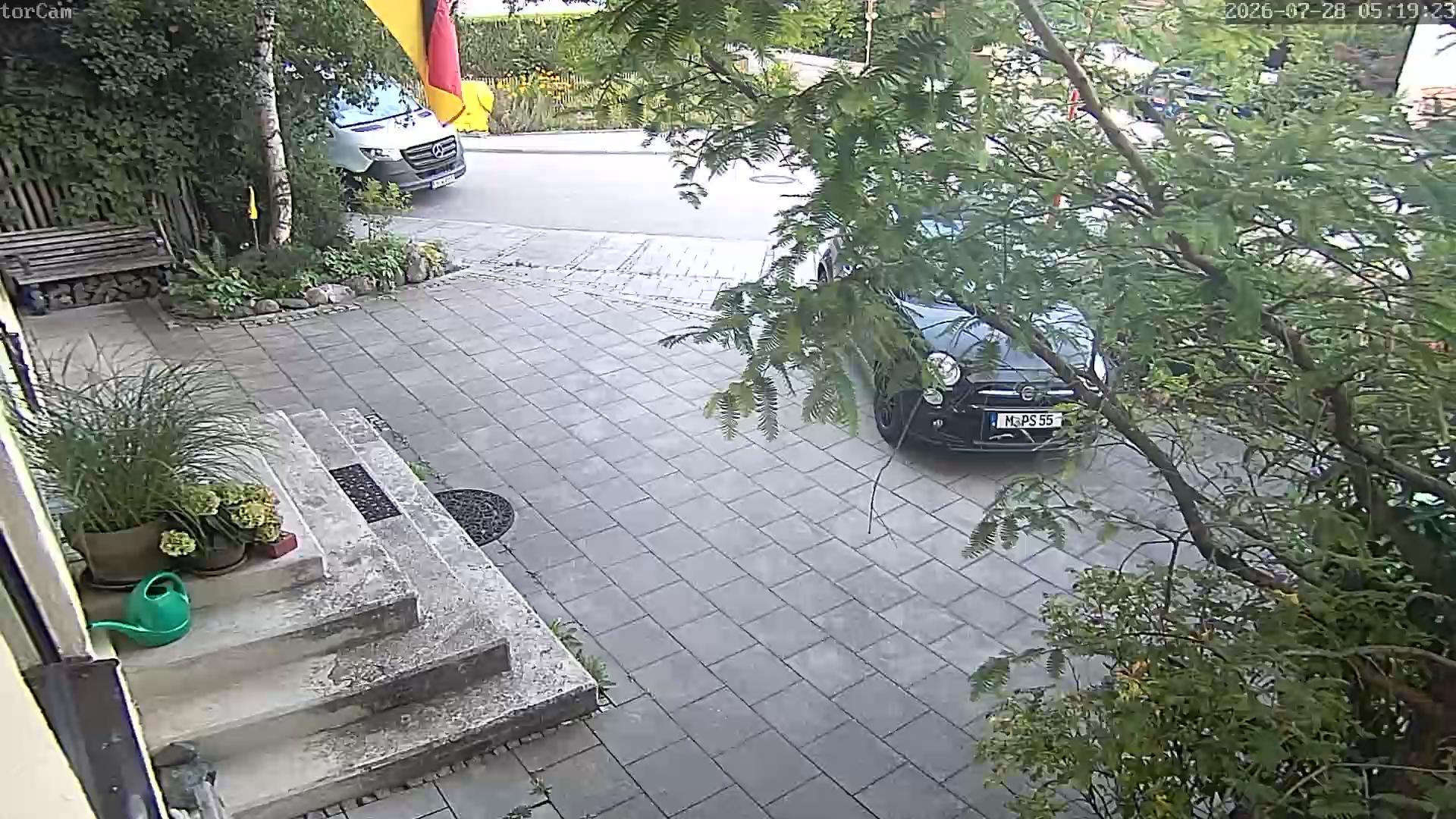
28.07.2026 06:19:29
A residential driveway with a black car parked on the right side, a white van parked further back, and a German flag hanging from a tree. The driveway is paved with gray tiles, and there are potted plants and a wooden bench on the left side. The scene is likely in a suburban area in Germany.
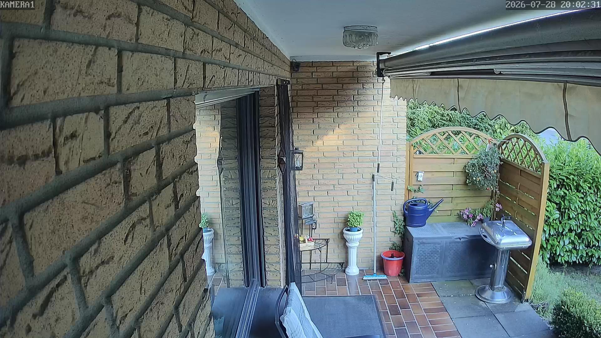
28.07.2026 20:02:33
The image shows a residential outdoor area with a brick wall, a sliding glass door, and a patio with various plants and a small table. The time is 20:02 on July 28, 2026, and the location appears to be a suburban home.
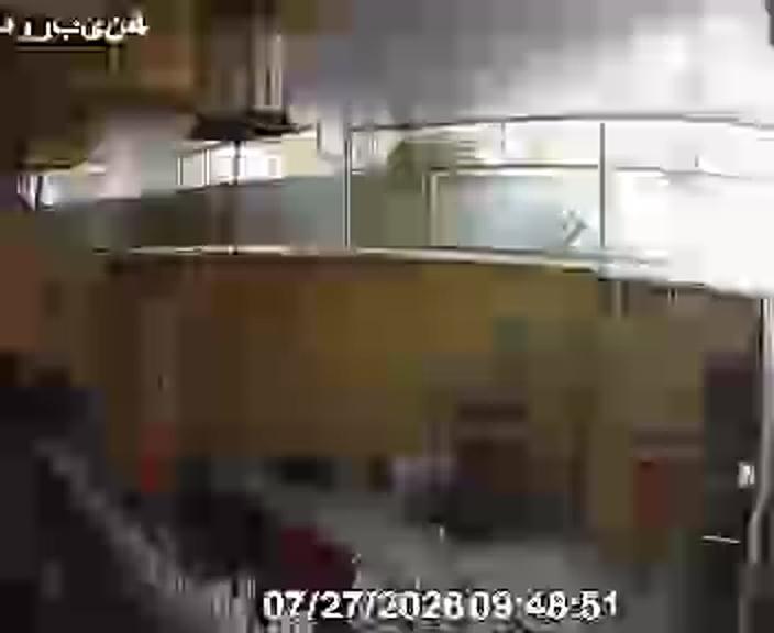
27.07.2026 07:18:52
The image shows a view from an office cubicle, looking out through a glass partition. The office is modern, with a yellow wall and a glass partition separating the cubicles. The timestamp on the image is 07/27/2028 09:48:51.
27.07.2026 13:12:14
A residential street scene with a well-maintained lawn, a sidewalk, and a street sign. The timestamp indicates it was taken on May 17, 2028, at 04:37 AM.
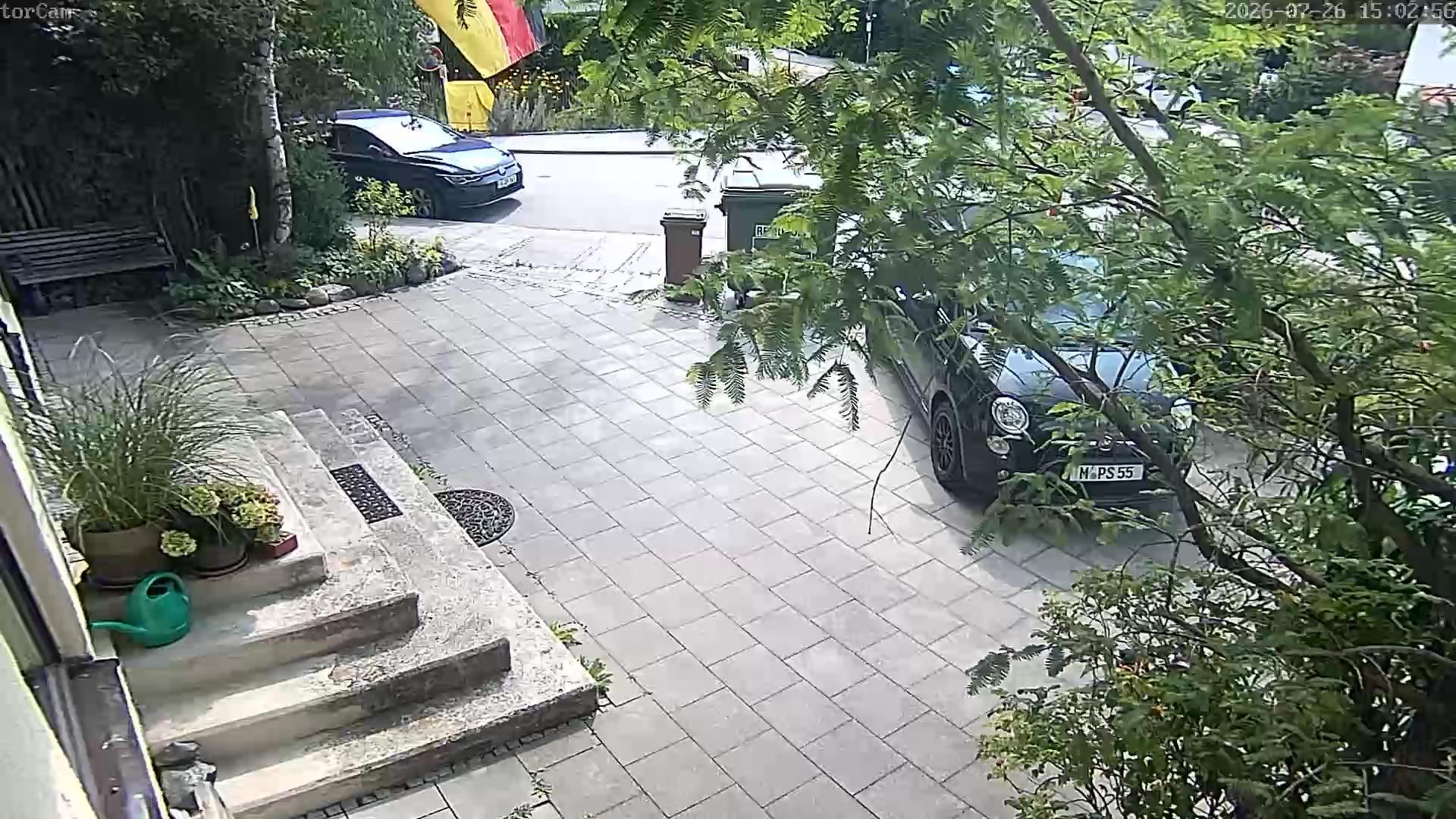
26.07.2026 16:03:02
The image shows a residential driveway with a black car parked on the right side. The driveway is paved with light-colored tiles, and there are steps leading up to a house. A green watering can is placed on the steps, and a tree with green leaves is visible on the right side of the image. A flag is hanging from a pole in the background, and a trash bin is located near the driveway. The scene appears to be in a suburban area with greenery and a well-maintained garden.
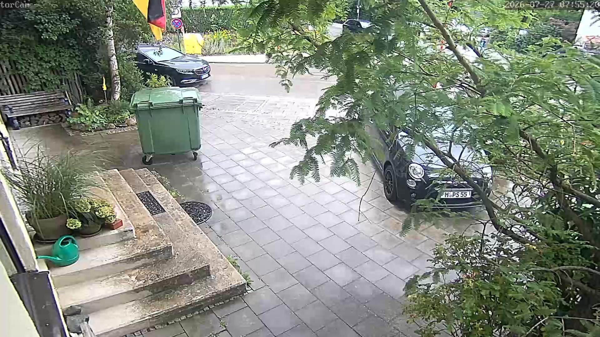
27.07.2026 08:55:27
A rainy day scene showing a driveway with a green trash bin, a black car parked on the side, and a tree with leaves partially obscuring the view. The driveway is wet, and there are potted plants and a bench on the left side.
27.07.2026 08:18:00
A nighttime scene captured by an IP camera, showing a narrow alleyway bordered by brick walls. A person is seen walking down the alley, illuminated by a streetlight in the background. The timestamp indicates it was recorded on July 26, 2026, at 23:17:52.
27.07.2026 11:17:30
An aerial view of a residential street with a person walking on the sidewalk, a parked car, and a utility pole with a crane attached to it. The scene appears to be in a suburban area with green lawns and trees.
28.07.2026 07:05:43
The image shows a cluttered room with various items scattered around, including a Christmas tree, a table with food and drinks, and a person in the background. The room appears to be a kitchen or dining area, with a large window on the left side.
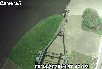
28.07.2026 10:12:33
A surveillance camera captures a residential street scene with a person walking on the sidewalk, a grassy area, and a tree in the background. The timestamp indicates it was taken at 1:37 AM on May 18, 2020.
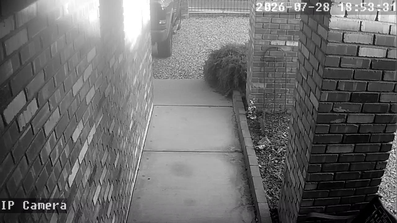
29.07.2026 03:53:39
A black and white image of a narrow pathway between two brick walls, leading to a driveway with a bush and a parked car. The timestamp indicates it was taken on July 28, 2026, at 18:59:31.
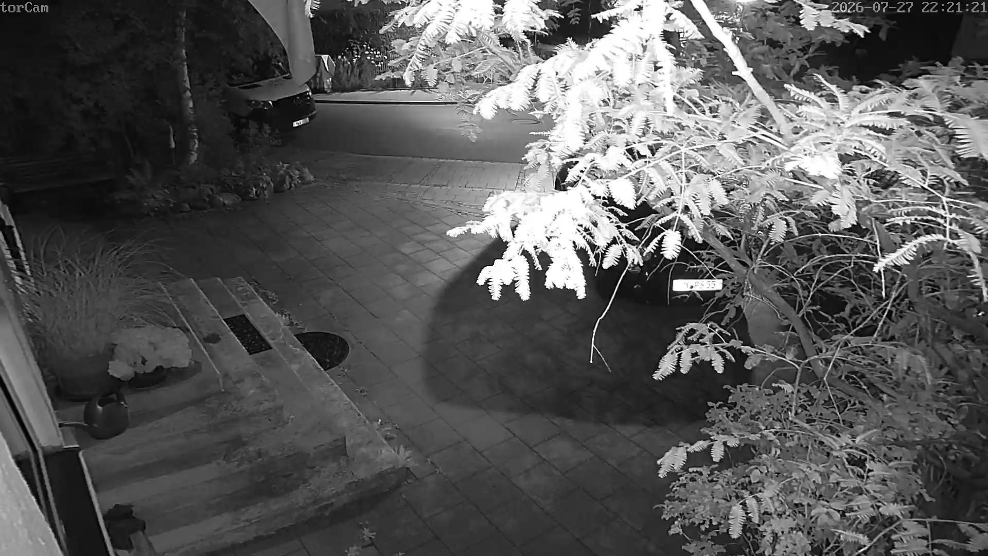
27.07.2026 23:21:28
A nighttime view of a driveway with a car parked in the background, surrounded by potted plants and a paved walkway. The scene is illuminated by a light source, casting shadows and creating a contrast between light and dark areas.
27.07.2026 22:18:06
A nighttime view of a garden with a brick wall and a fence, featuring various plants and a small structure in the background. The scene is illuminated by a night vision camera, capturing the details of the garden and the surrounding area.
27.07.2026 08:50:38
A pixelated image of a building with a person standing on a ledge, possibly in an urban setting. The timestamp indicates it was taken on 07/27/2023 at 11:03:00.
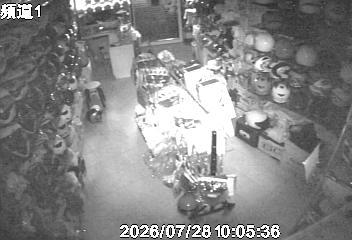
27.07.2026 22:35:09
A dimly lit storage room with shelves stocked with various items, including boxes, bottles, and bags. The room has a large roller shutter door in the background, and the floor is covered with a patterned carpet. The image appears to be taken at night, as indicated by the timestamp in the top right corner.
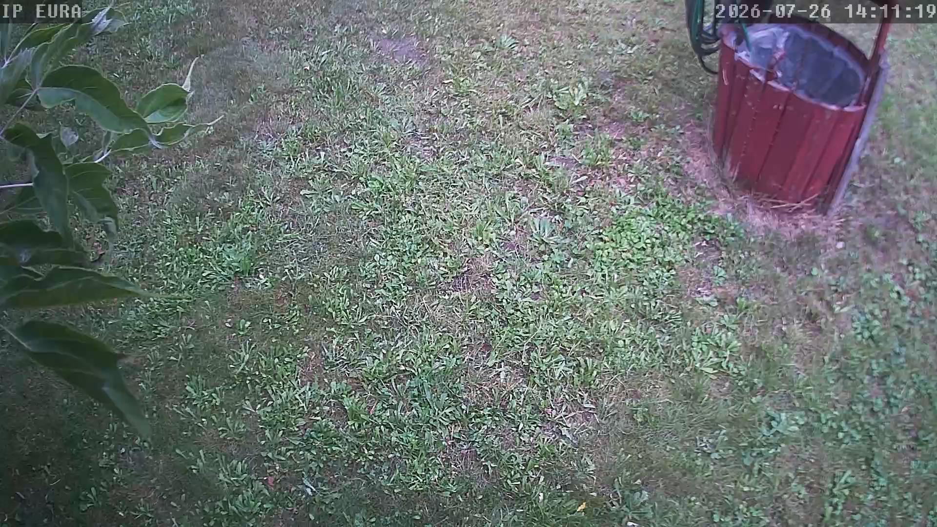
26.07.2026 15:11:24
A grassy yard with a red trash can on the right side, and a tree with green leaves on the left side. The timestamp indicates it was taken on July 26, 2026, at 14:11:19.
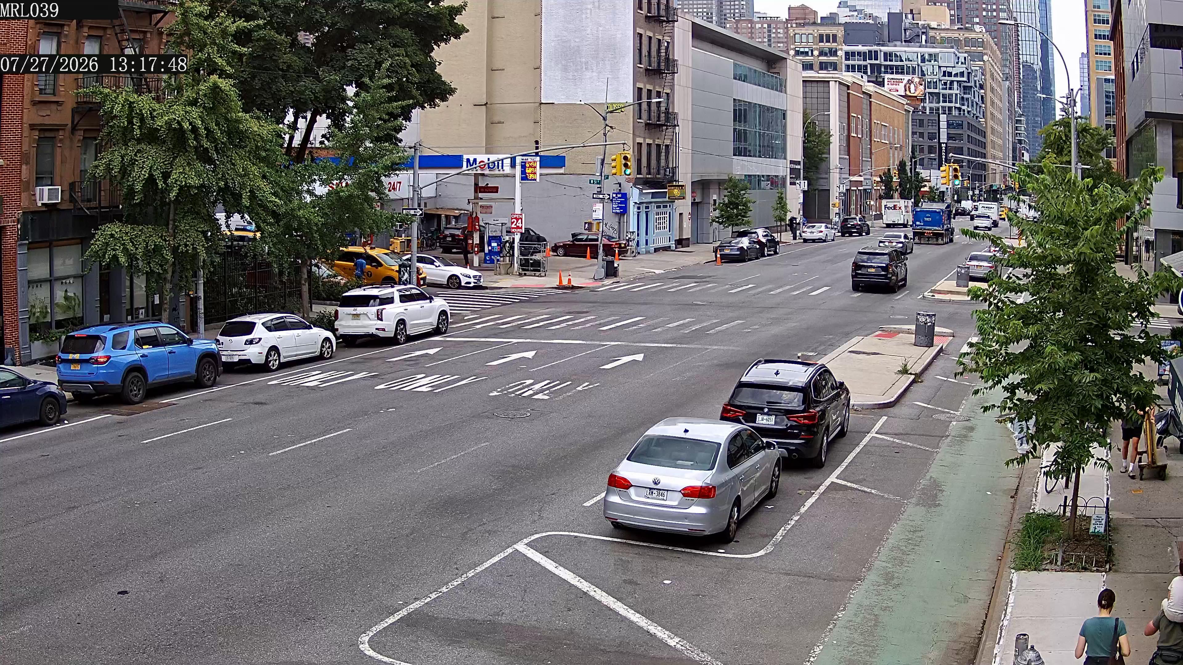
27.07.2026 19:18:16
A busy urban intersection with multiple lanes of traffic, including cars and a truck, and a pedestrian crossing. The scene includes various buildings, trees, and street signs, with a timestamp indicating the image was taken on July 27, 2026, at 13:17:48.
27.07.2026 11:57:07
A view from a balcony overlooking a street with a white car parked on the side, a tree with white flowers, and a white bus parked on the road. The timestamp indicates it was taken at 14:27:04 on July 27, 2026.
26.07.2026 20:29:59
The image shows a cozy outdoor patio area of a residential home. The patio is enclosed by a brick wall and features a comfortable seating area with a cushioned chair and a small table. There is a small garden area with a wooden arbor, potted plants, and a hot tub. The scene is well-lit, suggesting it is either early morning or late afternoon.
27.07.2026 07:43:17
The image depicts a cluttered workshop or storage area with various tools, equipment, and supplies scattered around. The space is dimly lit, with a large open door leading outside, and shelves filled with items on both sides of the room. The floor is wooden, and the overall atmosphere suggests a busy, functional workspace.
27.07.2026 23:36:48
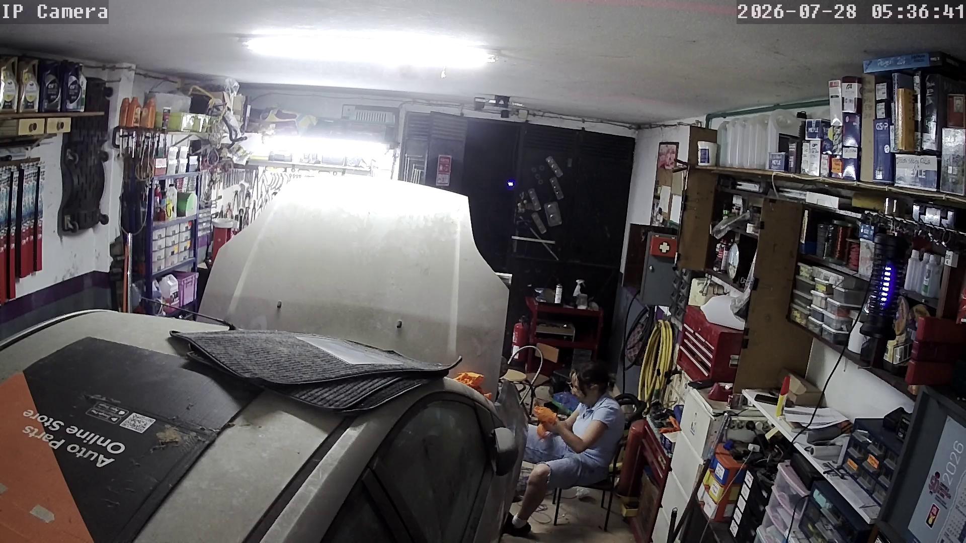
A person is working on a car in a well-lit garage, surrounded by various tools and equipment. The car's hood is open, and the person is seated on a chair, holding a tool.

